 01 May 2015
Travel Fact Sheet
|
Utah Travel Facts
|
|
|
Statehood: |
Utah became the 45th state on January 4, 1896 |
|
Nickname: |
Beehive State |
|
Capital: |
Salt Lake City |
|
Time Zone: |
Mountain Standard Time |
|
Population: |
2,855,287 (2012 estimate) |
|
Counties: |
29 |
|
Motto: |
Industry |
|
Utah Emblem: |
Beehive |
|
State Song: |
Utah, We Love Thee |
|
State Animal: |
The Rocky Mountain Elk |
|
Land Area: |
84,899 square miles |
|
Highest Point: |
13,528 feet — King's Peak |
|
Lowest Elevation: |
2,178 feet — Beaver Dam Wash |
|
Average Altitude: |
6,364 feet |
|
Ski Resorts: |
14 |
|
State Parks: |
43 |
|
National Forests: |
5 — Ashley National Forest, Dixie National Forest, Fishlake National Forest, Manti-La Sal National Forest and Uinta-Wasatch-Cache National Forest |
|
Scenic Byways: |
26 (8 of which are National Byways) |
|
National Heritage Areas: |
4 — Bear River Heritage Area, Great Basin National Heritage Area, Trail of the Ancients Heritage Area and Mormon Pioneer National Heritage Area |
|
Major Rivers: |
Colorado River and Green River |
|
Major Lakes: |
Great Salt Lake, Lake Powell and Utah Lake |
|
Major Mountain Ranges: |
Wasatch Range, Uinta Mountains, Henry Mountains, LaSal Mountains and Abajo Mountains |
|
Wildlife Species: |
Over 600 |
|
Ghost Towns: |
141 |
|
Utah Fun Facts
|
|
|
|
Historic Hot Spots
|
|
|
|
|
|
|
|
National Parks & Monuments
|
|
|
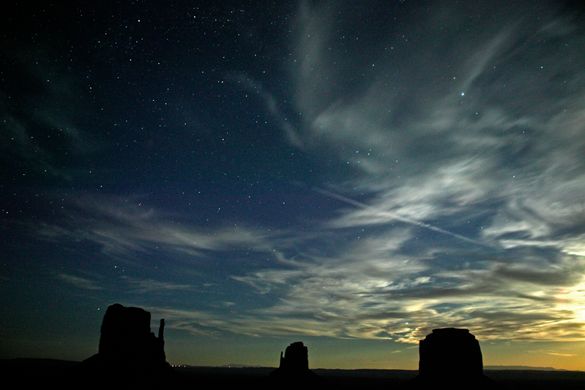
Arches National Park |
This desert landscape, accentuated by 2,000 natural stone arches, stands silent against the alpine backdrop of the La Sal Mountains. |
|
Bryce Canyon National Park |
Not really a canyon, the Bryce amphitheater is characterized by its thousands of pillars, columns, windows and hoodoos, all delicately carved by millions of years of erosion by wind and sand. |
|
Canyonlands National Park |
View thousands of feet down to the Colorado and Green Rivers or thousands of feet up to the redrock pinnacles, cliffs and spires in Utah's largest and most diverse national park. |
|
Capital Reef National Park |
Capital Reef comprises 378 square miles of colorful canyons, ridges, buttes and monoliths. About 75 miles of the long up-thrust called the Waterpocket Fold, extending like a rugged spine from Thousand Lake Plateau southward to Lake Powell, is preserved within the park boundary. |
|
Zion National Park |
Named by early Mormon pioneers, “Zion” means the “promised land,” which is the perfect way to describe Zion's peaceful yet dramatic landscape of sculptured canyons and soaring cliffs. |
|
Cedar Breaks National Monument |
Cedar Breaks, situated at an elevation of 10,000 feet, is a spectacular sandstone amphitheater that will amaze any visitor. |
|
Natural Bridges National Monument |
Features three natural river-carved bridges connected by a nine-mile drive round trip. |
|
Dinosaur National Monument |
Dinosaur National Monument is the largest quarry of Jurassic Period dinosaur bones ever discovered, at more than 200,000 acres and 350 million tons of discovered fossils. |
|
Rainbow Bridge National Monument |
Lake Powell is surrounded by canyons, inlets and coves all sheltering Indian ruins and other natural wonders. It is also home to Rainbow Bridge National Monument, the largest natural bridge in the world and a site considered sacred to the native peoples of the Navajo Nation. |
|
Grand Staircase-Escalante National Monument |
Proclaimed a National Monument by President Clinton in 1996, this 1.7 million acre park is larger than the state of Delaware! A land of bold plateaus and multi-hued cliffs, the Grand Staircase was the last place in the Continental U.S. to be mapped. |
|
Timpanogos Cave National Monument |
The northern slope of Mount Timpanogos is comprised of three limestone caverns connected by man-made tunnels. Stalactites, stalagmites, dripstone and flowstone litter the caves making a spectacle well worth the 1.5-mile hike to get there. |
|
Hovenweep National Monument |
Built by pre-Puebloan Indians over 1,500 years ago, the ruins at Hovenweep spread over a 20-mile expanse of mesa tops and canyons. |
|
Eat & Drink
|
|
|
|
Getting to Utah
|
|
|
Plane |
Salt Lake City International Airport (SLC) is the westernmost hub for Delta Air Lines, which offers nonstop service from 109 different destinations, most in the western United States, but also from medium-sized cities in the central U.S. and the large cities on the east coast. Nonstop service is also available from Paris-De Gaulle.
American Airlines, Continental, United, US Airways, and low cost airlines Southwest and JetBlue also serve Salt Lake City.
Cedar City (CDC) in central Utah is served with prop service to Salt Lake City, and St. George (SGU) in southern Utah has prop service to Salt Lake City and Los Angeles.
Canyonlands Field (CNY) (serving the Moab area) has service to Ely, Nevada (ELY) and Denver on Great Lakes Airlines. |
|
Car |
Take I-15 from Southern California and Las Vegas. It also enters from Idaho to the north, eventually connecting to Canada.
I-80 connects west to Reno and northern California. The route begins in San Francisco. It also connects from Wyoming near Evanston, providing the quickest route from Denver to Salt Lake City.
I-70 heads straight west from Denver, entering Utah near Grand Junction and providing quick access to the incredible desert terrain of southern Utah, although not to any of the urban centers. |
|
Train |
Amtrak runs the California Zephyr from Emeryville to Chicago, stopping in Green River, Helper, Provo and Salt Lake City |

